

Ground Truthing
In the third blog in our series, our ARISE co-researchers (John Mutinda, Lydia Akwabi, Judith Achieng, Famuel Omwaka, Daniel Obiero, and Joel Mburu) explain their ground-truthing exercise, undertaken as part of the social and governance terrain study. Supported by researchers (Caroline Kabaria, Ivy Chumo and Blessing Mberu).
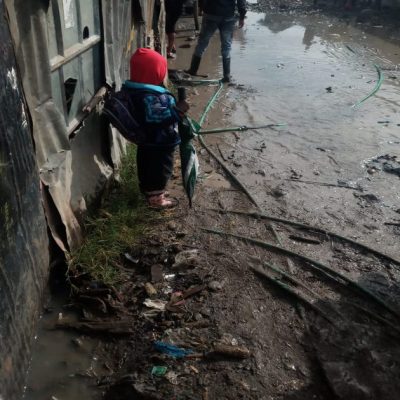
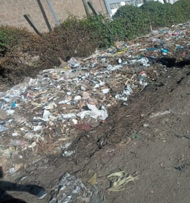
Our ground truthing exercise involved confirming and validating the locations of amenities/basic services mapped in earlier exercises. We worked to confirm 30% of basic services mapped during community profiling, by collecting their coordinates, as well as locating the coordinates of any other related basic service located within approximately 20m of the amenity being validated.
We walked through villages in order to physically verify some digitized features, and confirm if this was correctly mapped and record the GPS coordinates on a tablet, then sync the data for review and analysis in real-time.
While the exercise was a success, we encountered several challenges. While we hoped to be able to use tablets to collect all this data, they proved to be slow in collecting the coordinates of these locations. We, therefore, resorted to the use of a mobile phone for data collection as they captured this information quicker. Additionally, during this exercise some residents thought we were recruiting people to receive COVID-19 relief, and so we had to explain ourselves in some places.
Lessons learned during the social mapping of gatekeepers were useful while visiting the community.
In cases where we anticipated conflict or misunderstanding, we could refer to gatekeepers who had been mentioned, including village elders, “Nyumba kumi”, the chairmen, and the Chief in order of hierarchy. Mostly the Nyumba kumi and the chairmen were the first to be consulted in the community.
As members of the community, it was easier to interpret maps and locate the identified amenities, which made the exercise enjoyable. We learned that the community members who were involved in the mapping process had a deeper understanding of the community as most of the social amenities identified were actually on the ground and in their appropriate locations. On the rare occasion of a wrongly mapped amenity, we could quickly confirm the correct location with those in the area.